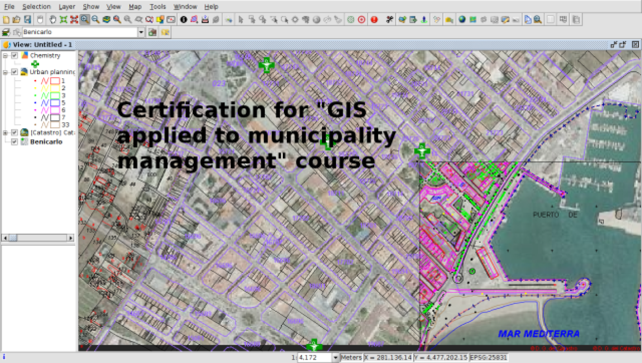
An online training course on gvSIG - an open source geographic information system (GIS) - continues to attract new users from Europe and across the globe. Over the past two years the gvSIG Association has provided certificates to trainees working for municipalities in Italy, Romania and many other countries, who have successfully completed the course.
The online course for gvSIG, which is used by towns, villages and cities alike, has been available in English since 2018. The course is split into 17 modules, in which trainees learn to use gvSIG to represent geographic information, create map-based web services, analyse geographic data, and create GIS solutions accessible from smartphones.
The gvSIG course is a complete introduction for municipalities, says Mario Carrera, a GIS expert from Spain who helps manage the video tutorials provided by the gvSIG Association. About 80% of the information handled by municipalities has a geographic component, Mr. Carrera says, indicating the importance of GIS.
The course includes the main products of the gvSIG suite, including gvSIG Desktop for analysis, editing, and geoprocessing, gvSIG Mobile for field data gathering applications running on the Android mobile operating system, and gvSIG Online. The latter allows users to combine geographic data and web portal tools to create online services in minutes.
The gvSIG Association is close at hand to help municipalities with installation, Mr. Carrera says: “This way, we show towns the benefits of joining the association, and help the project continue, improve the software and develop new functions.”
 Server logs
Most of the trainees are Spanish, which is not surprising since gvSIG was originally developed by the government of Valencia in 2005.
However, the course is also available in English and French. “The past two years, we’ve seen participants from all over Europe,” Mr Carrera told the European Commission Open Source Observatory.
Many of the visitors don’t bother to register or pay for a course certificate; instead, they drop by to watch one or more of the 24 videos in the set. Server logs show that from Sweden, for example, there have been participants from Norrköping, Stockholm, Boden and other municipalities, says Mr Carrera. From Denmark, he can find participants from Copenhagen, Aarhus, Frederiksberg and many others towns. In Latvia, the logs show trainees from Riga, Jūrmala and Valmiera.
The gvSIG Association is also making available a course on applications of GIS in archaeology and criminology.