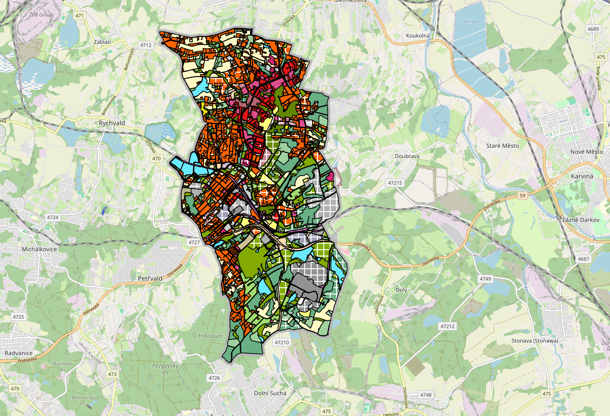
The Czech city of Orlová has developed and published an open source map portal designed to serve both citizens and decision-makers. The tool addresses the city’s need for efficient access to geographic information by city office employees and the general public, with the goal of supporting urban development and improving citizens’ quality of life. It also contributes to the city’s broader efforts to combat climate change.
The portal has been developed entirely in-house by Orlová’s Department of Spatial Planning and will be released under an open source license.
“The main benefits are low costs, customisation, transparency, flexibility, independence from suppliers and better sustainability,” explains GIS (Geographic Information System) Specialist Stanislav Tokoš from Orlová municipality.
“When we need a new map application, we can create one. Our only limit is our knowledge and experience.”
Currently, the platform features four thematic map applications, covering topics such as building energy efficiency, polling station locations, schools and kindergartens, and environmental data. The roadmap includes plans for dozens more applications. Future additions will visualise data collected by over 200 city sensors that monitor factors such as air quality (including airborne dust), precipitation, traffic, and wind conditions.
Orlová also aims to open all datasets used on the platform. The Department of Spatial Planning hopes that making this data publicly accessible will spark innovation and support the development of new city services, scientific research and educational tools.
“We are preparing a climate portal for primary school students and the public. It will be ready for use in any municipality or town in the Czech Republic. It will contain basic information about climate and data from the sensor network of Orlová,” says Tokoš.
The map portal is part of the European project IP LIFE for Coal Mining Landscape Adaptation (LIFE20 IPC/CZ/000004), which focuses on helping cities adapt to climate change.
The development of the portal began in 2023 and it is currently in test mode, with the first public version expected to go live by the end of 2025.