
What is the potential of Artificial Intelligence (AI) for geospatial thinking and how can geospatial data contribute to the momentum of AI?
This webinar will take a deep dive into the expanding field of GeoAI, by exploring a number of key advancements within AI technologies and demonstrating their current application and relevance in central public policy areas.
In this webinar, Dhananjay Ipparthi – a specialist in the field of AI, Sebastiaan van der Peijl and Lea Ytrehus from Deloitte Belgium will present the current state of play on GeoAI and the potential of this domain for geospatial thinking and public policy.

This webinar will provide you with insights on:
- Why AI matters for geospatial, by exploring a number of emerging opportunities and trends.
- Key advancements in AI and deep dives into exponential technologies.
- Concrete examples of GeoAI applied in public sector policy domains, such as healthcare, environment, epidemiology and mobility.
- Opportunities and challenges for the uptake of AI for geospatial in the future.
Should you have any questions or interests concerning this topic, there will be an opportunity to participate in a Q&A session at the end of the webinar
This webinar is the tenth of a series of “Webinars” performed by the European 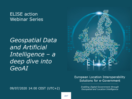
The webinar will take place on the 09/07/2020 from 14h to 15h.
If you are interested in this webinar, do not hesitate to register by clicking on the following button. You will receive a confirmation email with the instructions on how to join this webinar.

If you cannot join, register anyway, we will send you the both the slides and recording.
After the webinar you will be able to find here both the recording and the supporting slides of this webinar.
If you are interested in knowing more about ELISE Webinars you can find further information here.