The revamped Belgian Walloon geo-portal, centralises the region’s geographic data and aims at promoting their re-use. This new version includes the WalOnMap tool, for dynamic visualisation of the entire catalogue of publicly accessible geodata.
The ambition of the portal is:
- to federate the geographic contributions and be a single point of source for regional meta-data catalogues and maps (as an implementation of the INSPIRE directive promoting simple access, sharing and reuse of the data);
- to build and develop a community around the official geodata and made them available through state of the art technologies.
Being managed at regional level, the Walloon portal is complemented by Geo.Brussels (for the Brussels-Capital region) and by Geopunt (for Flanders). Since March 2016, a federal Belgian geo-portal (www.geo.be) redirects to the regional ones. Moreover the Belgian coordination team for geomatics is discussing the development of a National portal in the next months.
Policy Context
The team in charge of the geographic information in Wallonia is part of the Wallonia Public Service (SPW) and relies on several entities with shared competences for geodata supply:
- The regional Minister of the Environment, Town and Country Planning, Mobility and Transport and Animal Welfare;
- Federal organisations like the Geographic National Institute;
- Municipalities and local development agencies working in the field of geomatics.
The geoportal is revamped inside the framework of the “Digital Wallonia”, intending to define the regional digital strategy. It is structured around three main axis:
- A strategy collectively adopted by the Walloon Government. It sets out the priorities and objectives of public policies and the framework for supporting private initiatives in favour of digitalisation;
- A platform collaboratively managed by the Walloon digital ecosystem. It provides services and support to public and private actors involved in the implementation of the digital strategy;
- A mark driven by all actors in the digital transformation of the region. It ensures their visibility and federates the initiatives implemented within the framework of the digital strategy.
Description of target users and groups
The Walloon geomatics Decree applies to the regional public authorities that produce or manage geographic data related to the 34 themes defined by the European Commission.
The sharing concept that stands beside this project foresees that all public administrations can be users and providers of new information (excepted for the Town Council, which are out of scope of the legal obligation for data submission). The private companies will be in the future (and are already in certain cases) asked to feed the network with the developments of their own work (i.e. to share the extra developments made on the provided geodata or services). This is also in line with the INSPIRE concept of sharing and reuse of the open services.
The number of data producers contributing to the geoportal has sensibly increased in the last period and include important actors of the public life of Wallonia (e.g. the Transport public Agency and other public services like the Cadastre and Agencies responsible for statistics, economics …).
Final users are people and professionals having specific interests on the geographic and cartographic domain. They are public authorities, private enterprises, consultants, architects, notaries, associations and private citizen.
The number of users rose up to 30% from last July and recently reached the threshold of 100.000 frequent users (>10 sessions/year).
Description of the way to implement the initiative
The need of such geomatics portal was already present in Wallonia in 2002, when the first regional cartographic portal was developed, outside any specific legal framework.
The Decree relating to the Walloon geographic information infrastructure, aka “Walloon Geomatic Decree”, was adopted on 22 December 2010 by the regional Parliament. It transposes the 2007 INSPIRE European directive which aims to create a common framework for the management of geographic information in Europe. The first restructuration of the portal was in 2013 to create the “Geoportail wallon”.
More recently, the Walloon region planned a digitalisation of its services with a dedicated local ministry of Digitalisation (Minister of Economy, Industry, Innovation and Digital), which opened a platform to collect and share important information on electronic public services. Among the most recent updated services is the geoportal of Wallonia. This application has then been integrated to the label “Digital Wallonia”, intending to define the regional digital strategy.
The Strategic Committee on Geomatics (CSG) ensures the implementation of the INSPIRE directive. In practice, this body decides which data producer and/or list of geographic data falls within the scope of the INSPIRE directive and must comply with its requirements. The SPW (Wallonia Public Service) Department of Geomatics prepares an infrastructure dedicated to INSPIRE and a methodology that makes possible to disseminate the data through compliant web services. The same department is also in charge of ensuring the conformity of the published and disseminated data, as well as granting its easy reuse.
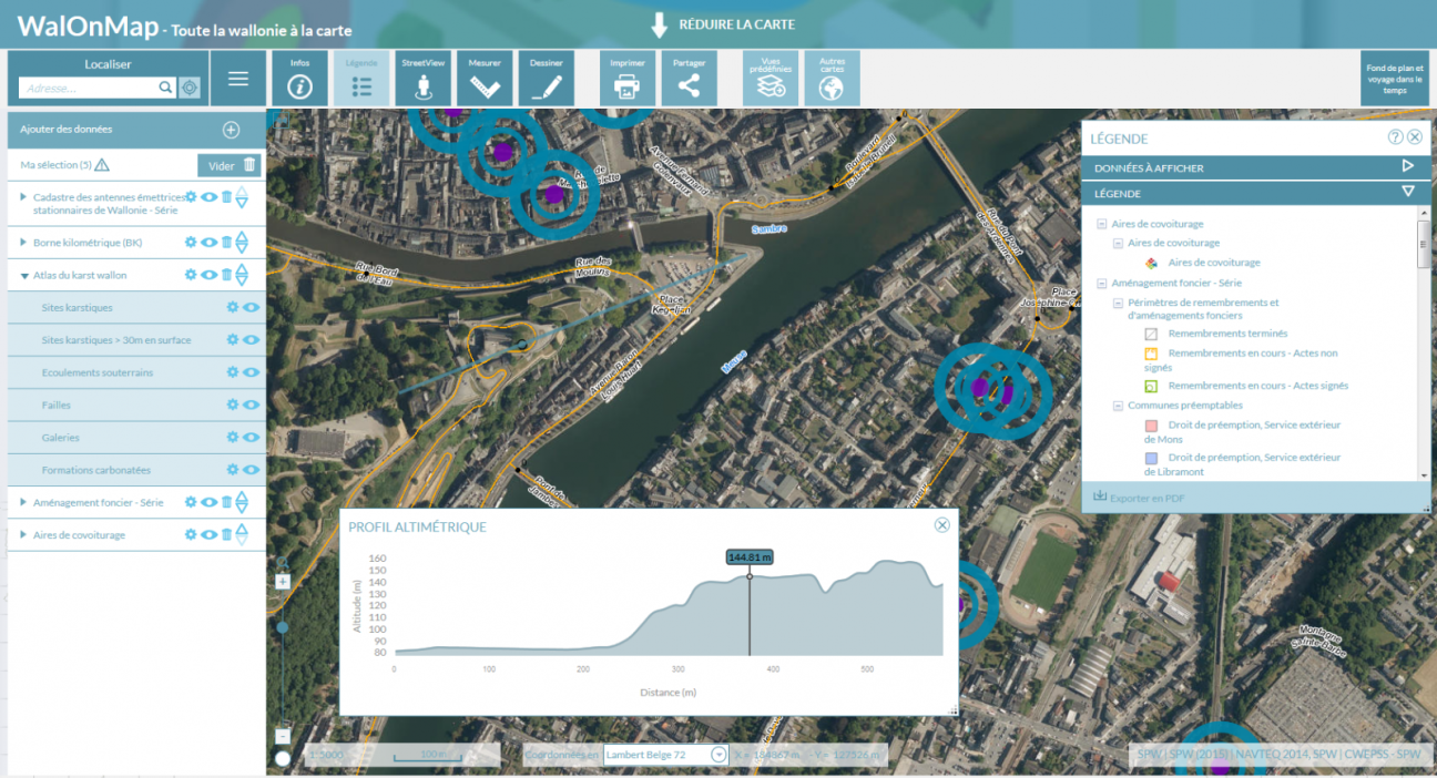
The key utility enclosed in the geoportal is the list of maps defined and divided by themes of interest. There’s a comprehensive and interactive service called “WalOnMap”. It regroups all the maps available according to the need of the user, as well as a list of corresponding geodata and a download capability.
WalOnMap is the dynamic geodata viewer embedded in the portal. It is fed by data published by local public institutions and administrations. It allows citizens to use data on an interactive map and to create their own geographic view.
The portal also provides a list of dedicated thematic interactive maps. As for example, a hydrogeological study of the region helps to better manage the risk of flooding. All stakeholders in the geographic sector can also register in a dedicated repository to create a kind of “who’s who”. Application developers, data producers, experts (like forest officers, for example), software vendors or content manager are listed. Data can be downloaded, uploaded and enriched to build new datasets. The portal is also developed to be an exchange portal for the global community. Events and meetings are listed in an agenda.
The appreciation of the services, the development and delivery of new data, as well as the advancement on certain aspects of the project are evaluated through a special Monitoring Report that is presented to the European Commission.
Technology solution
The architecture chosen for the development of the portal is modular. This allows the project managers to be more flexible to answer the needs discovered during the implementations phase, keeping in the same time the control of the development.
The InfraSIG platform has been developed following those specific needs and foresees:
- Information Content Management (Geoportal)
- Data Catalog Services (MetaWal)
- Storage and access to geodata (cluster DB, FGDB, caches)
- Geographic Web Services Access and Integration API (GeoViewer API)
- Visualization services (REST ,WMS, kml)
- Geoprocessing services (specific value-added web services for data processing and management of geographic information requests - examples: cadmap, geocoding, ...)
- Transformation services (data and models) and geodata loading (ETL Spatial)
- Download services (physical data acquisition)
- Access Management Services (Security)
- Associated Records Management Service (upcoming GOL)
Also, open software have been adopted. For example: GeoNetwork to manage the metadata catalogue.
Technology choice: Proprietary technology, Standards-based technology, Open source software
Main results, benefits and impacts
By developing a comprehensive and interactive tool, required by the European INSPIRE directive that should be applied in every Member State, Walloon region delivered a useful and user-friendly tool to his citizenship.
The main impact is on the easiness of access to certain information (that previously required a professional of the sector or a long query to a public agency or communal cadastre) as well as the collection of interactive and dynamic information available on the whole region.
There is also a consistent saving in money, organisation and energies when dealing with the development of certain public services. This is made possible by reuse and sharing based on a consistent portal composed of familiar tools where to start from.
One example of the portal success stories is described by the public letter where the Union of Towns and Municipalities of Wallonia underlines the usefulness of the Geoportal of Wallonia to manage the risk of flooding. It states that “The visualization of the maps allows access to a wide variety of cartographic information related to the territorial development in Wallonia, to compare the views and to cross the data that they reveal".
Return on investment
Return on investment: Other
Lessons learnt
One of the most recent portal lesson learnt deals with the need of communication around the portal capabilities. This is now included in the overall approach, using the social networks in a dedicated and proficient way.
It is also very important to underline the re-use oriented philosophy that stands beside the whole project, including the standardisation of the data and the removal of hurdles in order to access and download the wished data.
Moreover the integration of the users in the development of the site (via a standard helpdesk and the possibility to contact the support through a live conference call) greatly helps the improvement of the provided services.
Scope: Regional (sub-national)